We are crazy about maps!...the texture, the history, they are tremendous conversation pieces and an excellent, unique gift! We can source for you virtually any world historic map.


......................MAP CATEGORIES.................
View all-
NORTH AMERICA
We have an extensive collection of maps of North America.: Canada, United...
-
Canada: Overall Maps
We have an extensive collection of Canadian Vintage Maps, Canadian Nature, Ontario,...
-

Canada: Quebec
We have an extensive collection of vintage prints and maps relating to...
-
Canada: Ontario Maps
We have an extensive collection of vintage maps relating to the Province...
-
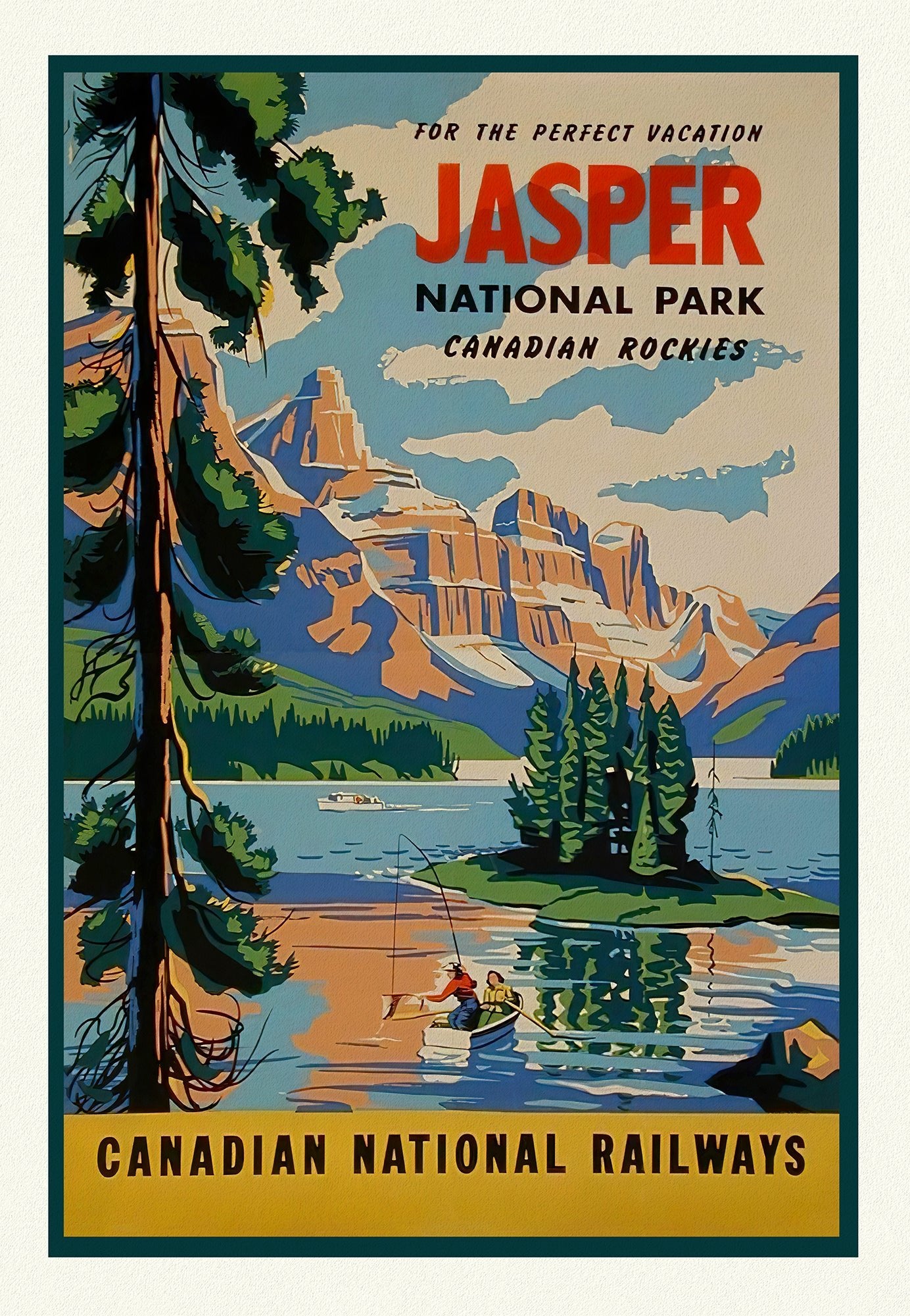
Canada: Travel and Ski Posters
We have over 150 vintage Canadian travel posters: skiing, rail, road, ship...
-

Canada: Wildlife
We have an extensive collection of Audobon nature prints: birds and other...
-
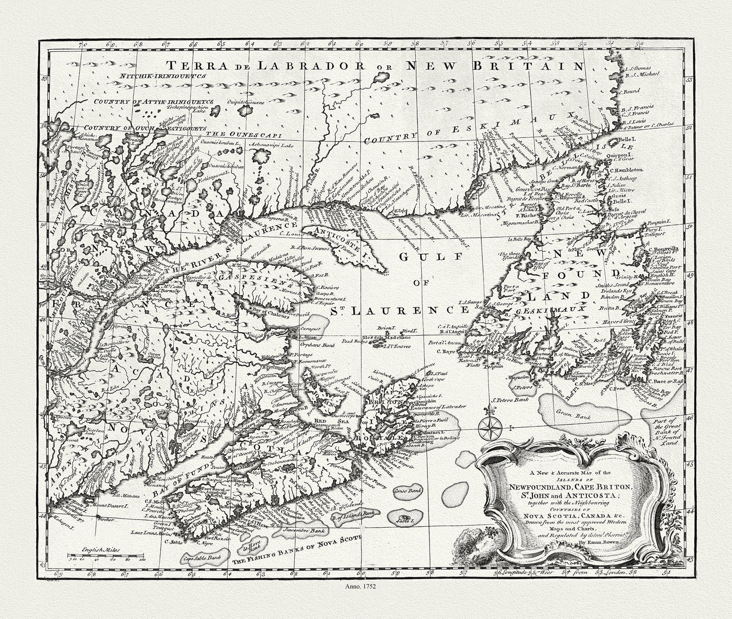
Canada: Atlantic Provinces
We have an extensive collection of maps encompassing all of Canada's Eastern...
-
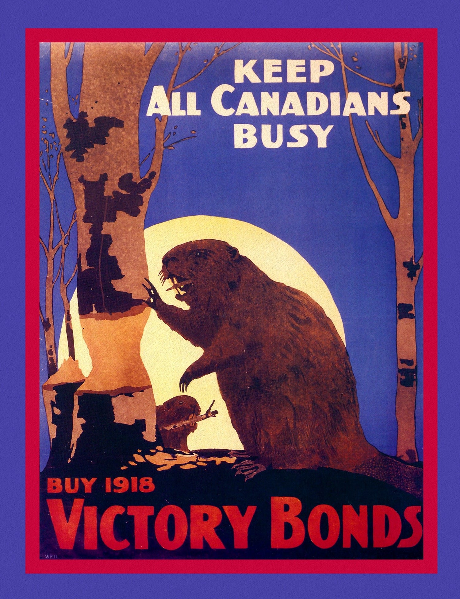
Canada: Military and RCMP Maps, Posters
Explore our vast selection of Canadian Military, RCMP maps and posters from...
-
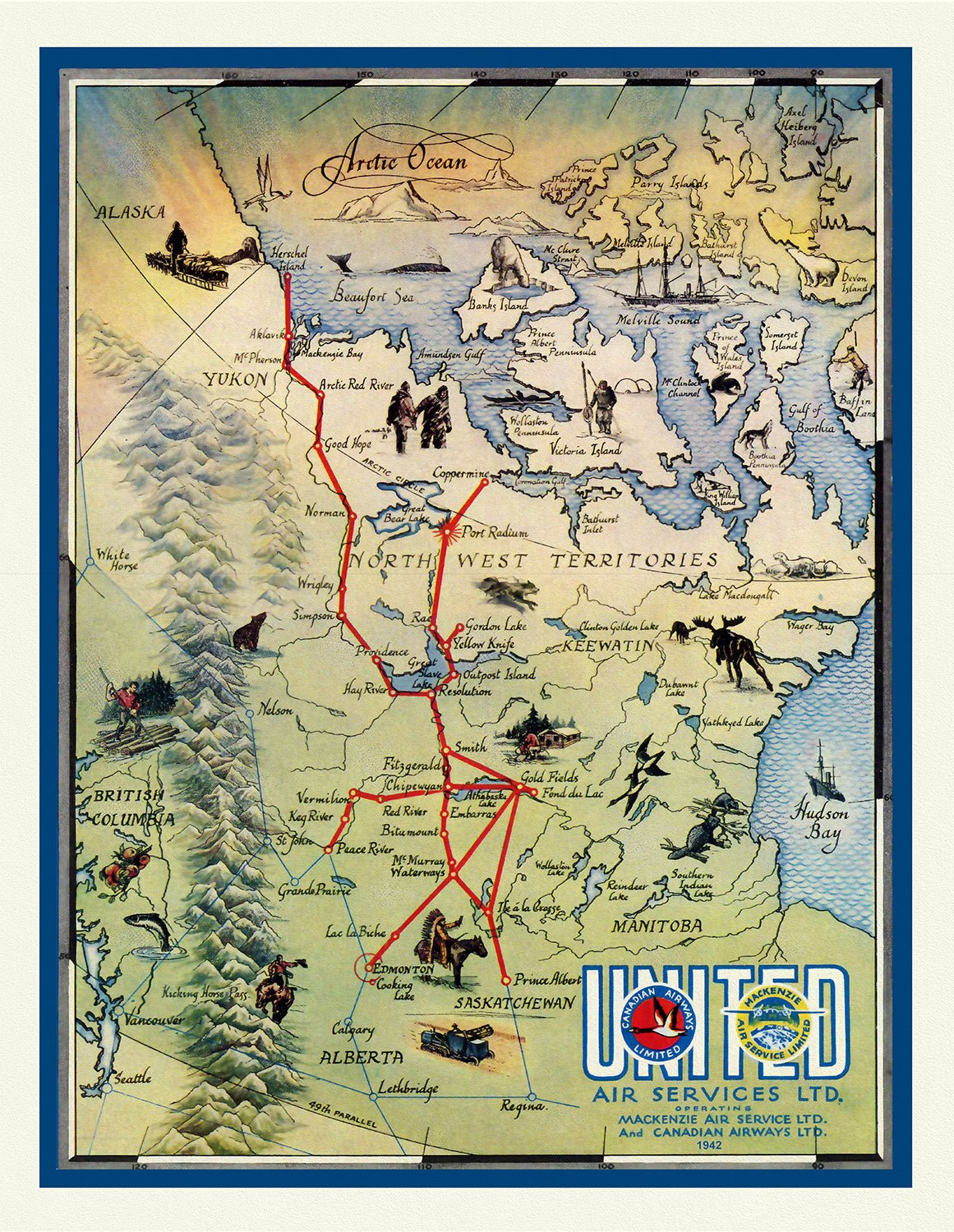
Canada: Northern and Western Regions
We have an extensive collection of vintage maps of Arctic Expeditions ,...
-
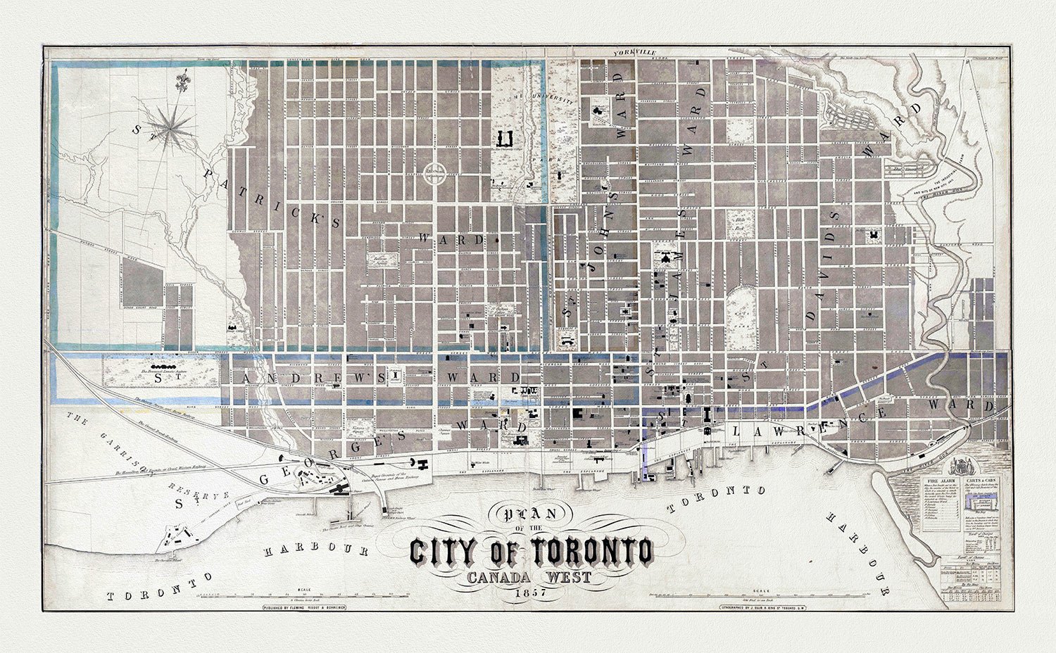
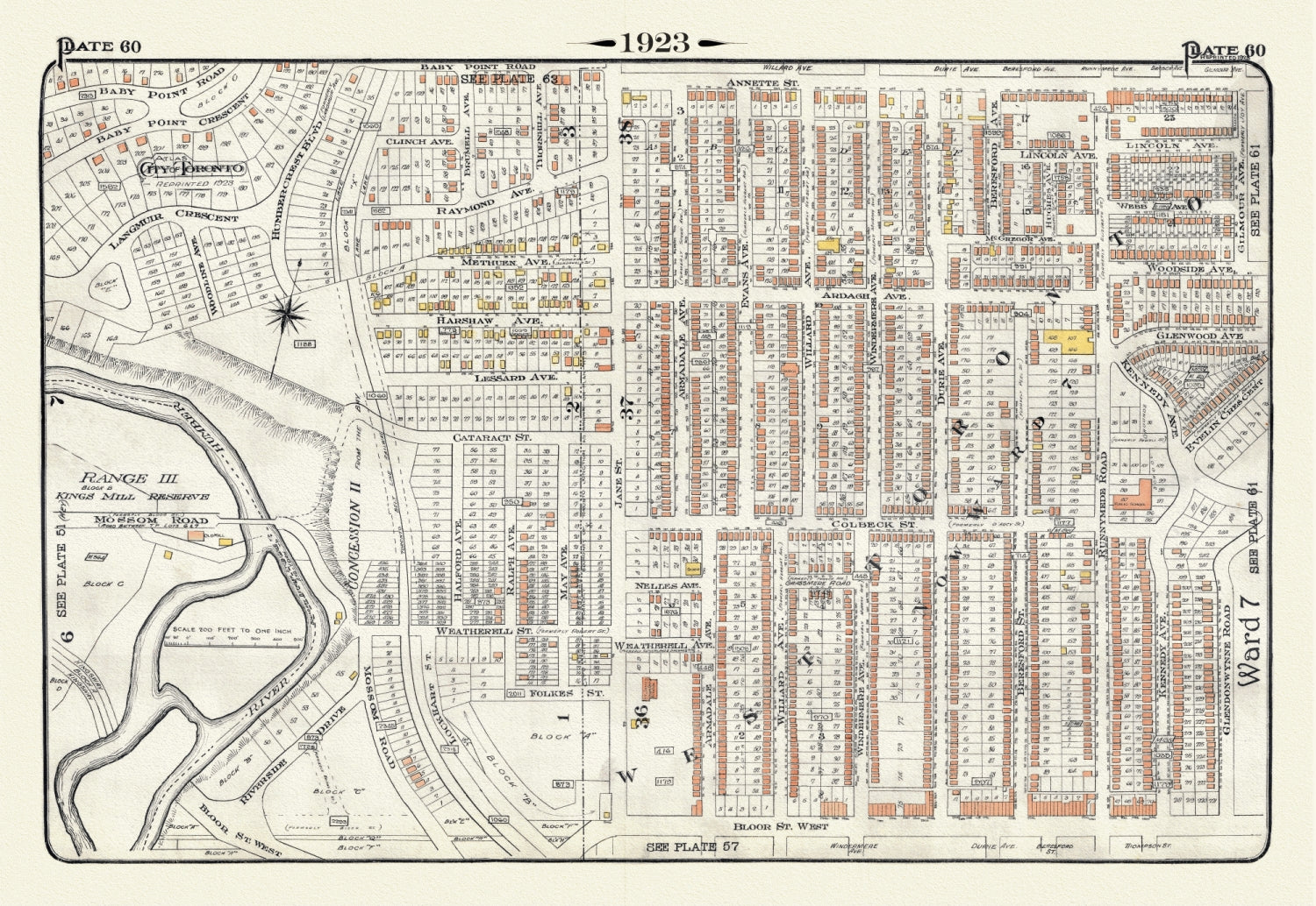
Canada: Toronto Maps
We have a solid collection of 300+ maps and views of Toronto...
-
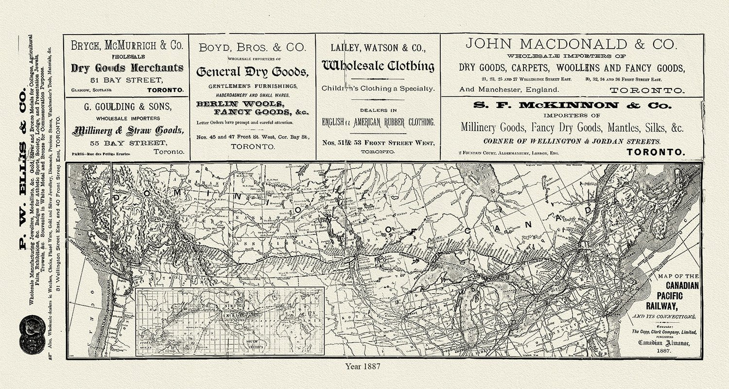
Canada: Railways & Telegraphs
We have quite a few maps of the railways, telegraphs and highways...


-
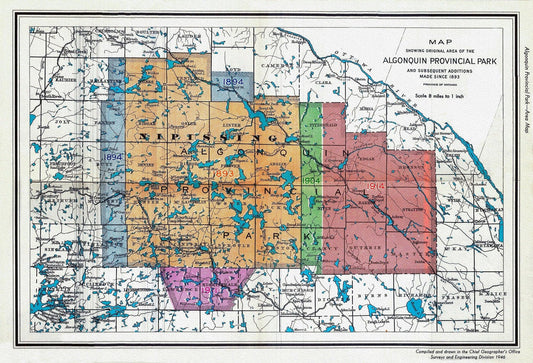
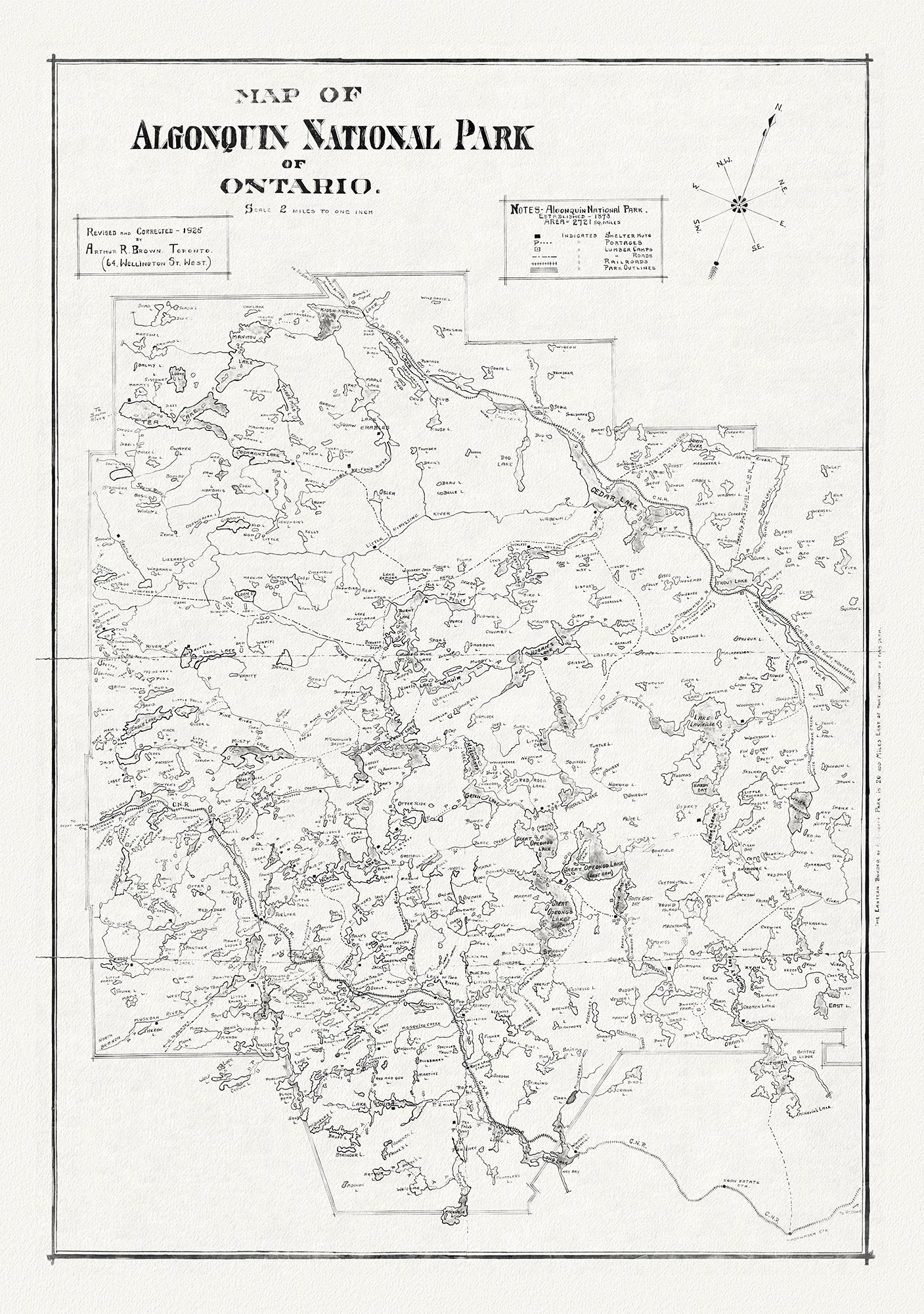
1946 Map of Algonquin Park, Showing Subsequent Additions since 1893, map on heavy cotton canvas, 22x27" approx.
Vendor:The Map ChestRegular price $45.00 CADRegular price -
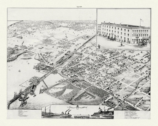
A Bird's eye view of Collingwood, Ontario, Brosius auth., 1879, map on durable cotton canvas, 50 x 70 cm or 20x25" approx.
Vendor:The Map ChestRegular price $45.00 CADRegular price -
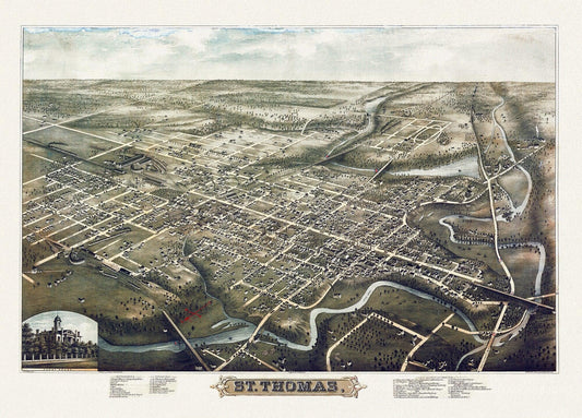
A Birds eye View of St. Thomas, Ontario, 1896, on heavy cotton canvas, 22x27" approx.
Vendor:The Map ChestRegular price $45.00 CADRegular price -
A chart of Canada River from ye island of Anticosty as far up as Quebeck, ye islands, locks, shoals, & soundings as they appear at low water.Johnston.1746
Vendor:The Map ChestRegular price $45.00 CADRegular price -
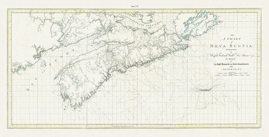
A chart of Nova Scotia, 1775, Des Barres auth.
Vendor:The Map ChestRegular price $45.00 CADRegular price -
A chart of Nova Scotia, 1775, Des Barres auth., map on durable cotton canvas, 50 x 90 cm, 20 x 30" approx.
Vendor:The Map ChestRegular price $45.00 CADRegular price -
A Chart of the Gulf of St. Laurence.Faden.1777
Vendor:The Map ChestRegular price $475.00 CADRegular price -
A chart of the island of Cape Breton, Nova Scotia,1781, Des Barres auth.
Vendor:The Map ChestRegular price $45.00 CADRegular price -
A chart of the island of Cape Breton, Nova Scotia,1781, Des Barres auth. Ver. BWI
Vendor:The Map ChestRegular price $45.00 CADRegular price -
A Chart of the North-American coast, for the navigation between Halifax and Philadelphia,1834, Laurie et Whittle, 1834
Vendor:The Map ChestRegular price $45.00 CADRegular price -
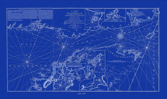
A chart of the Straights of Bell Isle with part of the coast of Newfoundland and Labradore, 1744, Cyanotype Ver. II
Vendor:The Map ChestRegular price $45.00 CADRegular price -
A chart of the Straights of Bell Isle with part of the coast of Newfoundland and Labradore, 1744, Cyanotype Ver. II, canvas, 50 x 70 cm
Vendor:The Map ChestRegular price $45.00 CADRegular price -
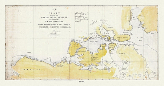
A Chart Shewing the North West Passage discovered by H.M. Ship Investigator also the coast explored in search of Sir J. Franklin , 20x25"
Vendor:The Map ChestRegular price $45.00 CADRegular price -
A Chart Shewing the North West Passage discovered by H.M. Ship Investigator the coast explored in search of Franklin, 1848 & 41 Ver. II
Vendor:The Map ChestRegular price $45.00 CADRegular price -
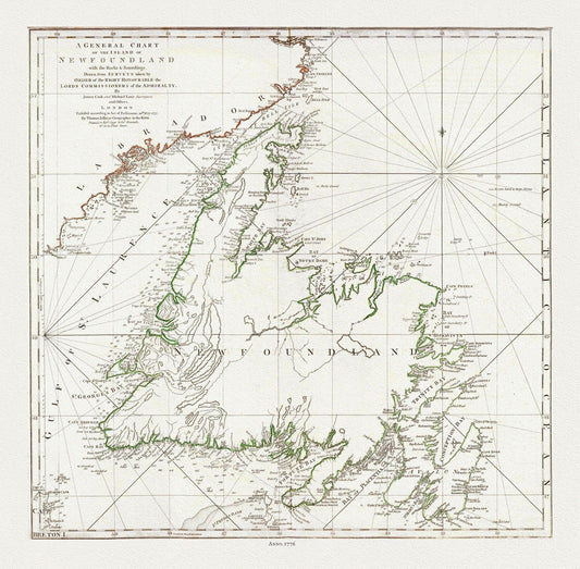
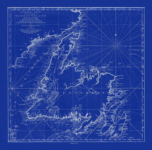
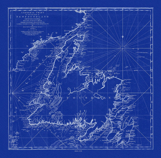
A General Chart Of The Island Of Newfoundland, 1776, Author: Jefferys, on heavy cotton canvas, 20x24" approx.
Vendor:The Map ChestRegular price $45.00 CADRegular price -
A General Chart Of The Island Of Newfoundland, 1776,Jefferys, auth., Cyanotype, map on durable cotton canvas, 50 x 70 cm, 20 x 25" approx.
Vendor:The Map ChestRegular price $45.00 CADRegular price -
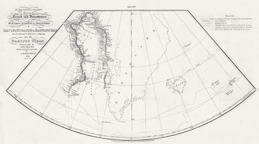
A General Chart Shewing the Track and Discoveries of H.M. Ships Isabella & Alexander to Davis's Straits and Baffin's Bay.Ross.1819
Vendor:The Map ChestRegular price $45.00 CADRegular price -
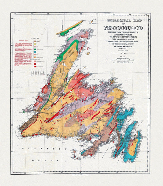
A Geological Map of Newfoundland, dated 1921, on heavy, clear coated, natural cotton canvas, approx. 20x24"
Vendor:The Map ChestRegular price $45.00 CADRegular price -
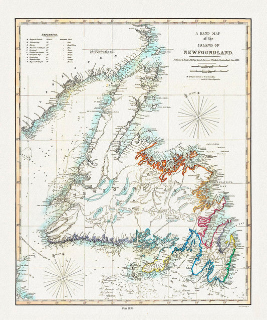
A Hand Map of the Island of Newfoundland, Findlay auth.,1859
Vendor:The Map ChestRegular price $45.00 CADRegular price -
A Hand Map of the Island of Newfoundland, Findlay auth.,1859 , map on heavy cotton canvas, 45 x 65 cm, 18 x 24" approx.
Vendor:The Map ChestRegular price $45.00 CADRegular price -
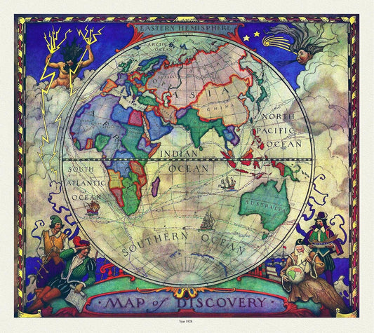
A Map of Discovery, Eastern Hemisphere, 1928, map on heavy cotton canvas, 20x25" approx.
Vendor:The Map ChestRegular price $45.00 CADRegular price -
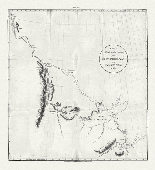
A map of Mackenzie's track from Fort Chipewyan to the north sea in 1789, canvas, 50 x 70 cm or 20x25" approx.
Vendor:The Map ChestRegular price $45.00 CADRegular price -
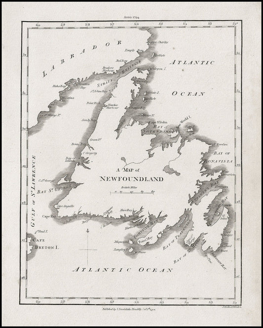
A Map of Newfoundland, Stockdale auth., 1794, map on heavy cotton canvas, 50 x 70 cm, 20 x 25" approx.
Vendor:The Map ChestRegular price $45.00 CADRegular price -
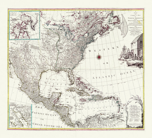
A map of North America with the West India Islands, Divided according to the Treaty of Peace, concluded at Paris Jan., 1783,canvas 22x27"
Vendor:The Map ChestRegular price $45.00 CADRegular price -
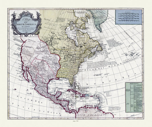
A map of North America, 1765, on heavy cotton canvas, 22x27" approx.
Vendor:The Map ChestRegular price $45.00 CADRegular price


CANADA MAPS
-
1946 Map of Algonquin Park, Showing Subsequent Additions since 1893, map on heavy cotton canvas, 22x27" approx.
Vendor:The Map ChestRegular price $45.00 CADRegular price -
A Bird's eye view of Collingwood, Ontario, Brosius auth., 1879, map on durable cotton canvas, 50 x 70 cm or 20x25" approx.
Vendor:The Map ChestRegular price $45.00 CADRegular price -
A Birds eye View of St. Thomas, Ontario, 1896, on heavy cotton canvas, 22x27" approx.
Vendor:The Map ChestRegular price $45.00 CADRegular price -
A chart of Canada River from ye island of Anticosty as far up as Quebeck, ye islands, locks, shoals, & soundings as they appear at low water.Johnston.1746
Vendor:The Map ChestRegular price $45.00 CADRegular price -
A chart of Nova Scotia, 1775, Des Barres auth.
Vendor:The Map ChestRegular price $45.00 CADRegular price -
A chart of Nova Scotia, 1775, Des Barres auth., map on durable cotton canvas, 50 x 90 cm, 20 x 30" approx.
Vendor:The Map ChestRegular price $45.00 CADRegular price -
A Chart of the Gulf of St. Laurence.Faden.1777
Vendor:The Map ChestRegular price $475.00 CADRegular price -
A chart of the island of Cape Breton, Nova Scotia,1781, Des Barres auth.
Vendor:The Map ChestRegular price $45.00 CADRegular price -
A chart of the island of Cape Breton, Nova Scotia,1781, Des Barres auth. Ver. BWI
Vendor:The Map ChestRegular price $45.00 CADRegular price -
A Chart of the North-American coast, for the navigation between Halifax and Philadelphia,1834, Laurie et Whittle, 1834
Vendor:The Map ChestRegular price $45.00 CADRegular price -
A chart of the Straights of Bell Isle with part of the coast of Newfoundland and Labradore, 1744, Cyanotype Ver. II
Vendor:The Map ChestRegular price $45.00 CADRegular price -
A chart of the Straights of Bell Isle with part of the coast of Newfoundland and Labradore, 1744, Cyanotype Ver. II, canvas, 50 x 70 cm
Vendor:The Map ChestRegular price $45.00 CADRegular price -
A Chart Shewing the North West Passage discovered by H.M. Ship Investigator also the coast explored in search of Sir J. Franklin , 20x25"
Vendor:The Map ChestRegular price $45.00 CADRegular price -
A Chart Shewing the North West Passage discovered by H.M. Ship Investigator the coast explored in search of Franklin, 1848 & 41 Ver. II
Vendor:The Map ChestRegular price $45.00 CADRegular price -
A General Chart Of The Island Of Newfoundland, 1776, Author: Jefferys, on heavy cotton canvas, 20x24" approx.
Vendor:The Map ChestRegular price $45.00 CADRegular price -
A General Chart Of The Island Of Newfoundland, 1776,Jefferys, auth., Cyanotype, map on durable cotton canvas, 50 x 70 cm, 20 x 25" approx.
Vendor:The Map ChestRegular price $45.00 CADRegular price -
A General Chart Shewing the Track and Discoveries of H.M. Ships Isabella & Alexander to Davis's Straits and Baffin's Bay.Ross.1819
Vendor:The Map ChestRegular price $45.00 CADRegular price -
A Geological Map of Newfoundland, dated 1921, on heavy, clear coated, natural cotton canvas, approx. 20x24"
Vendor:The Map ChestRegular price $45.00 CADRegular price -
A Hand Map of the Island of Newfoundland, Findlay auth.,1859
Vendor:The Map ChestRegular price $45.00 CADRegular price -
A Hand Map of the Island of Newfoundland, Findlay auth.,1859 , map on heavy cotton canvas, 45 x 65 cm, 18 x 24" approx.
Vendor:The Map ChestRegular price $45.00 CADRegular price -
A Map of Discovery, Eastern Hemisphere, 1928, map on heavy cotton canvas, 20x25" approx.
Vendor:The Map ChestRegular price $45.00 CADRegular price -
A map of Mackenzie's track from Fort Chipewyan to the north sea in 1789, canvas, 50 x 70 cm or 20x25" approx.
Vendor:The Map ChestRegular price $45.00 CADRegular price -
A Map of Newfoundland, Stockdale auth., 1794, map on heavy cotton canvas, 50 x 70 cm, 20 x 25" approx.
Vendor:The Map ChestRegular price $45.00 CADRegular price -
A map of North America with the West India Islands, Divided according to the Treaty of Peace, concluded at Paris Jan., 1783,canvas 22x27"
Vendor:The Map ChestRegular price $45.00 CADRegular price -
A map of North America, 1765, on heavy cotton canvas, 22x27" approx.
Vendor:The Map ChestRegular price $45.00 CADRegular price

Here are just some of our many reviews:
Tom on 29 May, 2021 His Rating 5 out of 5 stars "Purchased historic map print of local Toronto Ward. Great product, quality materials and colours. Delivered in sturdy and well protected mailing tube. Quick and professional conversations with shop owner regarding local delivery options. Will definitely be returning to this shop when looking for a new map purchase."
Ben on 18 Jan, 2023 rated his purchase 5 out of 5 stars Wrote: "Came significantly faster than was described, though I do live about an hour from Toronto. Print was also much higher quality and clearer than the image on the site, just a bit lower resolution image being used in the preview."
Christophe on 07 Aug, 2022 gave a rating of 5 out of 5 stars, wrote: "I am writing this review to acknowledge the exceptional customer service by Ed from HistoricMapsofCanada. I had a slight problem with my order, as is sometimes bound to happen with small, artisan stores, and Ed went above and beyond my expectations to solve it. It is truly a breath of fresh air when compared with customer service from large, impersonal online stores. As for the map itself, it is exactly as described: a very high quality print on just as high quality canvas, and an absolute stunner when hung on the wall. We chose to hang it without a protective glass so that we can have the tactile pleasure of running our fingers on the map when pointing at something on it, and the quality is such that it can absolutely withstand such use. And for the more than reasonable price, I cannot recommend these pieces more."
-

Bellin auth., Cours du Fleuve de Saint Laurent, Depuis la Mer Jusqu a Quebec, 1764